
The video plays automatically with the sound muted. To unmute, please adjust the volume control.
The Kadyanda Surface Survey, initiated in 2024 with permission from the Turkish Ministry of Culture and Tourism and with the support of Akdeniz University, the University of Cologne, Fethiye Municipality, and Koç University's Research Centre for Anatolian Civilisations (ANAMED), focuses on the investigation of the ancient city of Kadyanda and its ancient territory, located near Yeşilüzümlü in the Fethiye district.
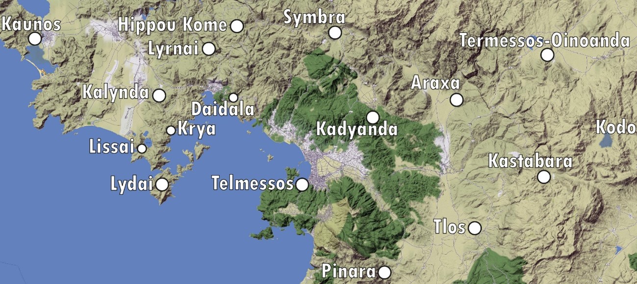
Kadyanda occupies a central position in the region, both geographically and historically, as the most important ancient settlement in the area surrounding the Gulf of Fethiye and the mountainous zones to its north, east, and west. Unlike neighbouring cities such as Araxa, Symbra, and Telmessos, the intact state of Kadyanda's urban fabric makes it an ideal site for both epigraphic and urbanistic study. Its isolated location, although heavily affected by illicit excavations, has protected it from modern construction and preserved the coherence of the city's urban texture.
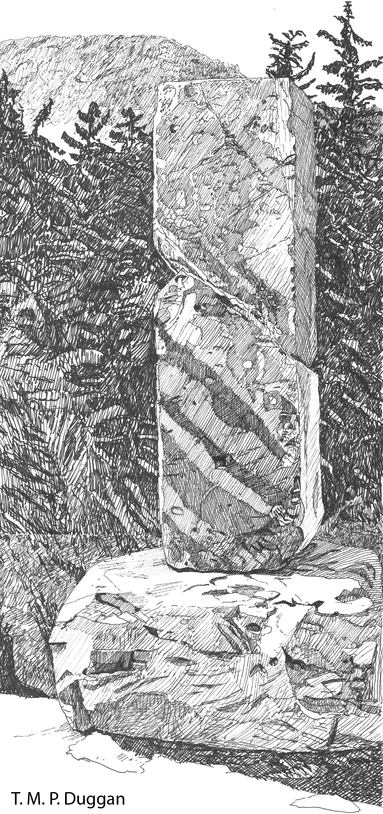
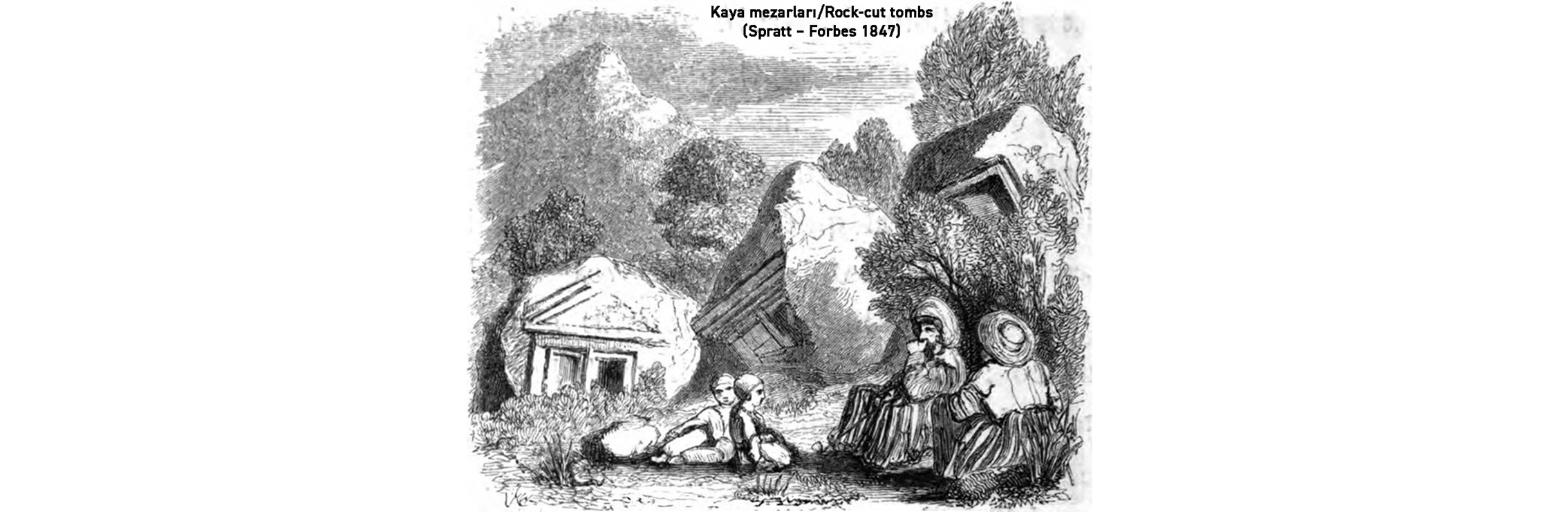
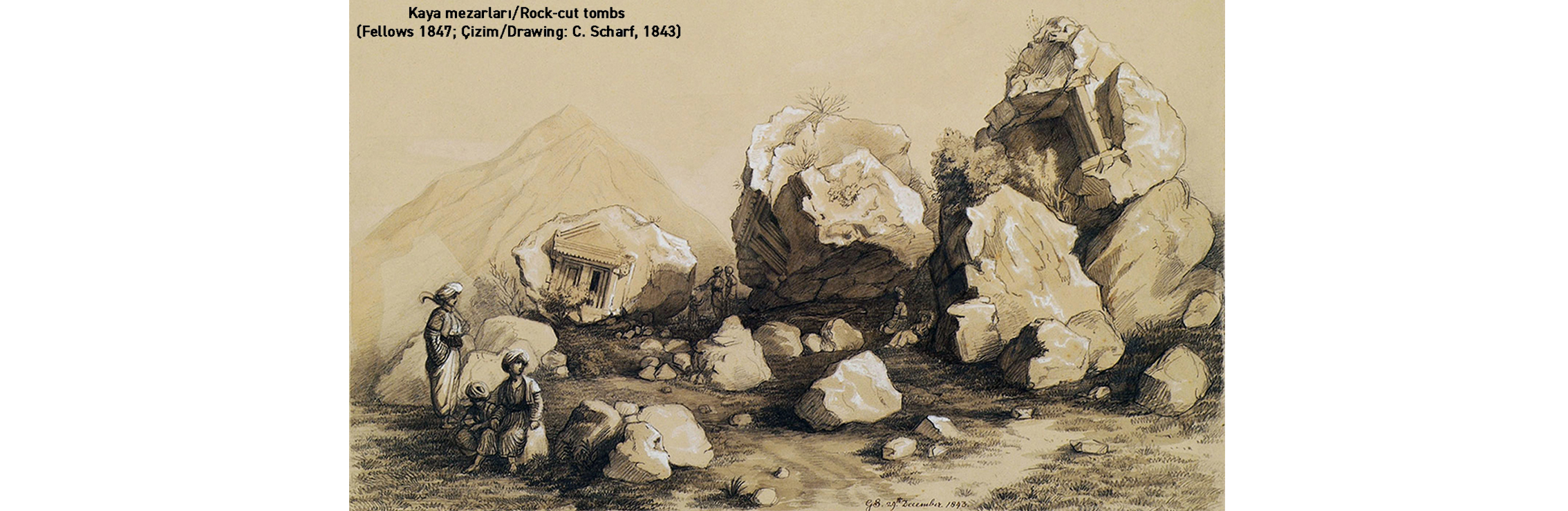
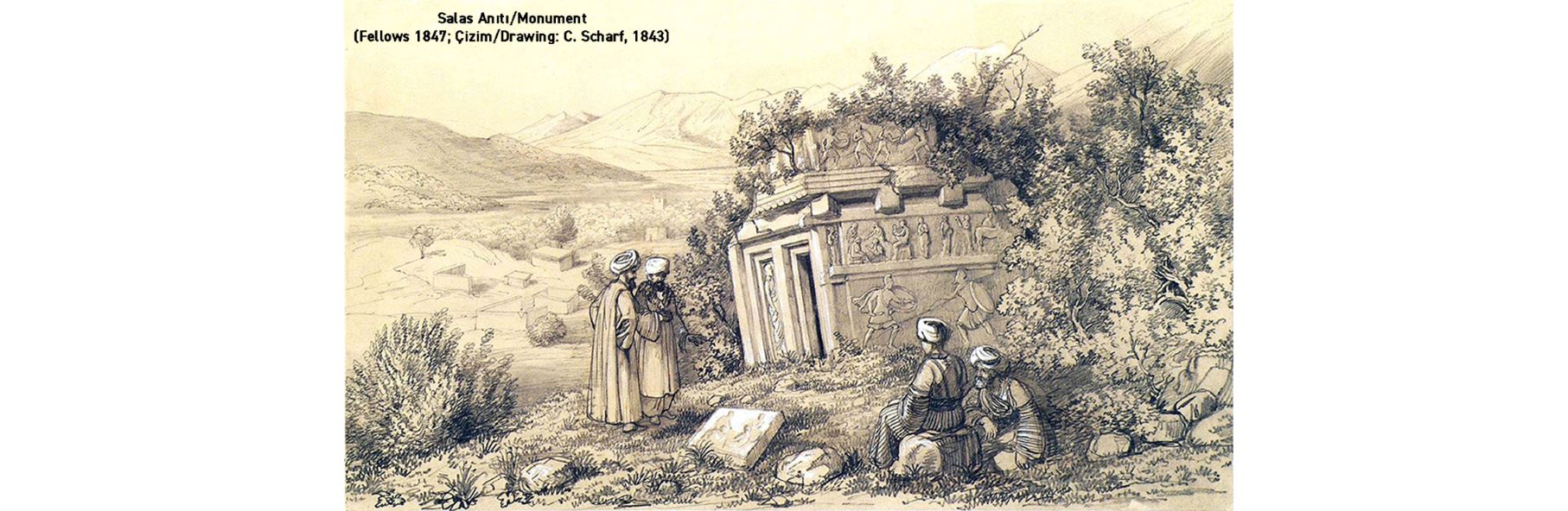
The city was built on a relatively flat hilltop surrounded by steep cliffs, with its settlement plan adapted to this natural landscape. Despite its unique character and importance, Kadyanda has not been systematically investigated. Earlier work — including accounts by 19th-century travellers, the research of Wolfgang W. Wurster, and epigraphic studies by French and German teams — has provided information on the city's most prominent structures, including the agora, theatre, baths, gymnasium, and temples. These studies, however, cover only a portion of the city's 15-hectare walled area and have not yet produced a complete picture of Kadyanda's urban organisation.
One of the primary aims of this survey is to address these gaps, particularly regarding Kadyanda's transition from a Lycian dynastic stronghold to a Hellenistic polis and its subsequent development into a fully urbanised city under Roman rule. The city's Byzantine period and later phases also require further investigation.
New inscriptions, highly likely to be uncovered during the surveys, are expected to shed important light on the city's history and its connections with the surrounding region. These findings could illuminate Kadyanda's relationship with nearby settlements such as Pinara to the south and Kaunos to the west, and potentially resolve long-standing questions about the structure and chronology of the Octapolis region to the north of the Gulf of Fethiye.
Kadyanda's position within the Lycian League is another area of inquiry, as there remain uncertainties regarding the city's role and influence within this political alliance. The construction of Hellenistic fortifications and the significant urban renewal attested during the Roman imperial period, particularly the renovation of public buildings, likewise require further study. The survey team hopes that interdisciplinary research, combined with a thorough analysis of both new and previously known materials, will provide answers to these questions.
Ultimately, the Kadyanda Surface Survey aims to illuminate the city's historical trajectory from its Lycian origins through its Hellenistic and Roman significance to its Byzantine-period development. The study of inscriptions, archaeological remains, and urban structures will not only deepen understanding of Kadyanda itself but will also contribute more broadly to knowledge of the ancient history of the region.
Son güncelleme : 6.05.2026 07:15:20